Plettenberg Bay Adventure Tours
Plettenberg Bay, nicknamed Plet or Plett, is the primary town of the Bitou Local Municipality in the Western Cape Province of South Africa. As of the census of 2001, there were 29149 population. It was originally named Bahia Formosa (beautiful bay) by early Portuguese explorers and lies on South Africa’s Garden Route 210 km from Port Elizabeth and about 600 km from Cape Town. Caves in Nelson’s Bay Cave and Matjies River Cave at nearby Keurboomstrand indicate they were inhabited for over 100 000 years by Middle Stone Age man and then later by ancestors of the Khoisan, who were possibly the same people who traded with the Portuguese survivors of the San Gonzales shipwreck. Their tools, ornaments and food debris can be viewed in these caves, which are still being excavated Long before Jan van Riebeeck landed at the Cape, Portuguese explorers charted the bay in the 15th and 16th centuries, the first being Bartholomew Dias in 1487. Ninety years later Manuel da Perestrello aptly called it Bahia Formosa or the Beautiful Bay. The first European inhabitants were 100 Portuguese sailors marooned here for 9 months when the San Gonzales sank in the bay in 1630. The survivors built two small boats which they used to link with a passing vessel. A stone that they left behind on Beacon Island, known as the Van Plettenberg Stone, is now in the Cape Town museum. In 1763, the first European settlers in the Bay were stock farmers, hunters and frontiersmen from the Western Cape.
A stinkwood navigational beacon was first erected on Beacon Island in 1771. The original was a square block of stinkwood, inscribed with the latitude and longitude of Plettenberg Bay and erected to enable mariners to check their location. It was replaced by a stone one by Captain Sewell in 1881.
The bay housed a barracks for the Dutch East India Company in 1776. The Governor of the Cape, Baron Joachim van Plettenberg, renamed the town Plettenberg Bay in 1779. In 1869 it was bought by St Peters Church and used as a rectory for the next 70 years. Today it is presently privately owned.
A whaling station was built on Beacon Island in 1910, but was closed down in 1916. Parts of the iron slipway are still visible today.
Plettenberg Bay hosts one of the largest seagull breeding colonies along the South African coast at the mouth of the Keurboom’s River, named after the indigenous keurboom tree.
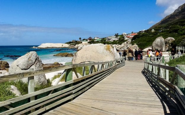
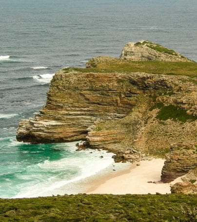
The Robberg Peninsula is home to a large seal colony and one can see seals playing and hunting in the surf off Robberg Beach. Local vegetation varies from Cape Fynbos to Knysna-Amatole montane forests further inland. Whales are a common sight in the bay during their breeding season, while dolphins are frequently seen in the surf. A delicate flower-shaped sea shell called a pansy shell is endemic to this part of the coast, and is used as the symbol representing the town. Looking for these shells on the beach is a popular activity amongst visitors and locals alike. Robberg Peninsula is maintained as a nature reserve, allowing visitors to see many of the area’s local plants and animals.
Plettenberg Bay is typified by an extremely mild maritime temperate climate with very few rainfall or temperature extremes. It is located within the Knysna Afromontane Forest biome, containing temperate gallery forest, supported by the mild temperatures and high, even distributed rainfall.
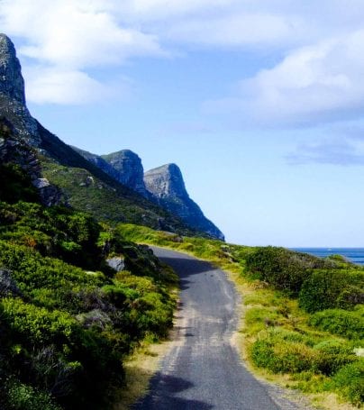
The bay is defined on the southern end by Cape Seal at the terminus of the Robberg (Afrikaans for Seal Mountain) Peninsula, separating the bay from the open Indian Ocean. It is one of the southern cape coast’s typical “J-shaped” bays, which is formed by wave action eroding the shales of the Bokkeveld Group between the weather-resistant headlands composed of the Table Mountain Group, both of the Cape Supergroup geological sequence of rocks. To the north, the Tsitsikamma and Langkloof Mountains keeps the moisture on the southern slopes of the mountains and prevent the temperature extremes of the interior reaching the bay.
Tourism is a thriving industry in this area, starting in November when teenage school leavers are the first to descend upon the small town, followed thereafter by various waves of arrivals from abroad as well as other parts of South Africa.
The infrastructure of the town struggles to cope at the peak of the summer season, with traffic congestion and booked-out restaurants common from November to January.
The greater Plettenberg Bay area (known as Bitou) is also home to Birds of Eden, the largest free-flight bird aviary in the world, and the free-roaming primate sanctuary called Monkeyland, among many other tourist attractions.
Bloukrans Bridge Bungy at nearby Bloukrans Bridge is the highest commercial bridge-based bungy jump in the world, and attracts adventure seekers from all over the globe.
The white, sandy beaches around the town are very popular with tourists, who have the following to choose from:
- Robberg Beach
- Central Beach (at the Beacon Isle Hotel)
- Lookout Beach (flood-ravaged in November 2007)
- Keurboomstrand (rough tides happen fairly frequently)
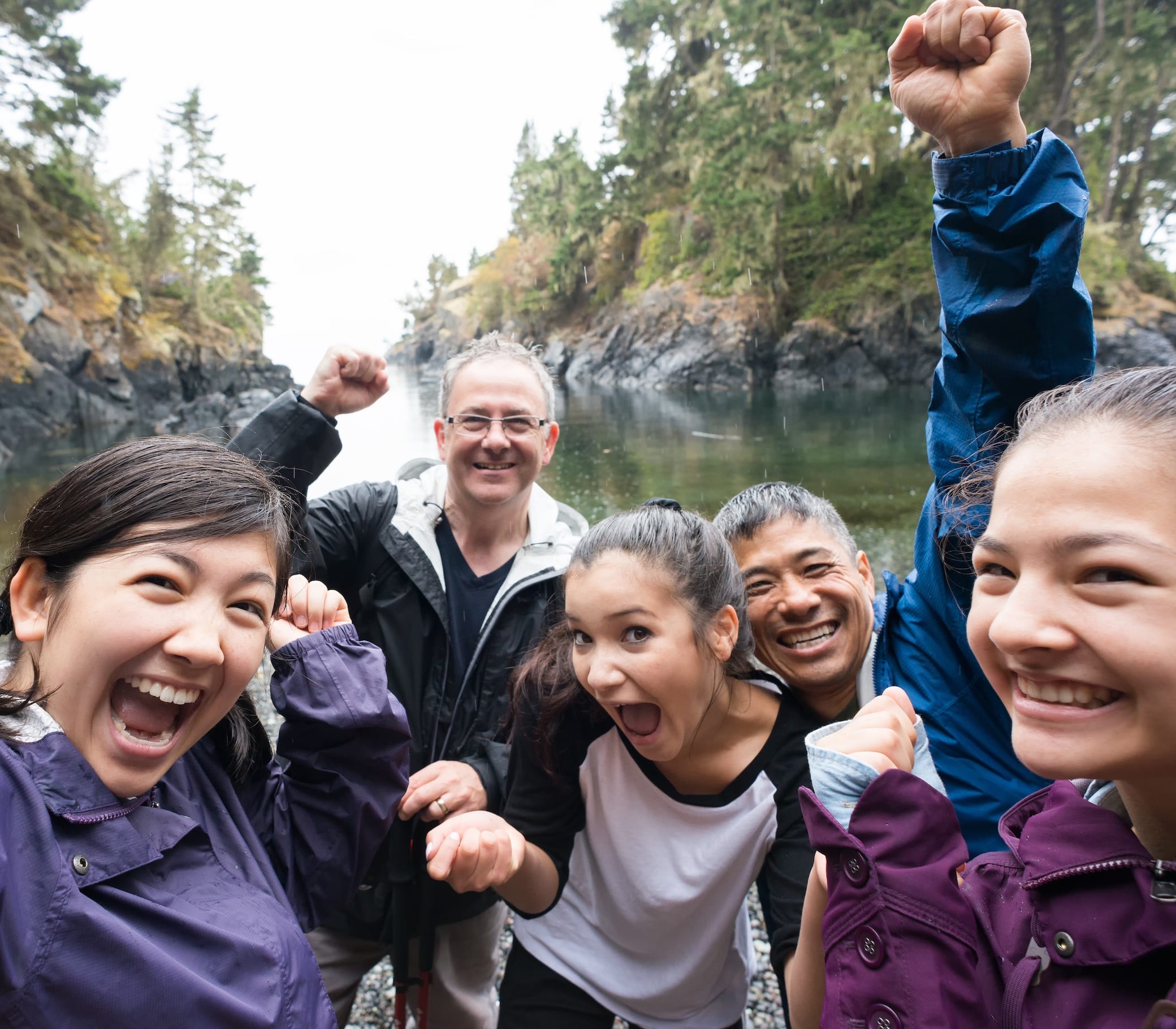
Customize Your Dream Adventure
We are here to help craft tailor-made adventures for individuals, couples, families, and groups of explorers.